


Risk Overview
Seven-day Weather Risk Overview
The graphic shows the daily risk summary for 7 days. Daily risk is based on highest risk factor for that day.
|
|
|
|
|
|
|
|
|
|---|---|---|---|---|---|---|---|
| risk level |
|
|
|
|
|
|
|
Risk Factors
The graphic shows the weather factors that have some risk for the next 7 days. Click on the colored boxes to see what the risk factors is based on and what impact it may have.
| Rip Current Risk |
|
|
|
|
|
||
|---|---|---|---|---|---|---|---|
| Extreme Heat Risk |
|
|
|
|
|
|
|
| Lightning Risk |
|
|
|
|
|
|
Lightning Risk: risk level 0
|
| Excessive Rainfall Risk |
|
|
|
Excessive Rainfall Risk: risk level 0
|
Excessive Rainfall Risk: risk level 0
|
||
| High Surf Risk |
|
|
|
High Surf Risk: risk level 0
|
High Surf Risk: risk level 0
|
||
| Coastal Flood Risk |
|
|
Coastal Flood Risk: risk level 0
|
Coastal Flood Risk: risk level 0
|
No impact in 6 other categories: Fog Risk, Tornado Risk, Fire Weather Risk, Severe Thunderstorm Risk, Wind, Marine Hazard Risk
Saturday: Rip Current Risk
3: 3
There is a significant/high risk of hazardous/life threatening rip currents. Swimming is not recommended. Heed the advice of the local beach patrol and flag warning systems.
Determining Risk
We base this risk on local weather office rip current risk forecasts. These consider swell height/period, wind speed/direction, and other parameters.
Risk Map

Risk Levels
| risk level name | risk level description |
|---|---|
|
1:1
|
The risk of rip currents is low, however, life threatening rip currents may still occur especially near groins, jetties, reefs, and piers. |
|
2:2
|
There is an elevated/moderate risk of hazardous/life threatening rip currents. Always swim near a lifeguard and remember to heed the advice of the local beach patrol and flag warning systems. |
|
3:3
|
There is a significant/high risk of hazardous/life threatening rip currents. Swimming is not recommended. Heed the advice of the local beach patrol and flag warning systems. |


Saturday: Extreme Heat Risk
2: 2
Affects those who are sensitive to heat, especially those without cooling/hydration, and some health systems and industries.
Determining Risk
We base this risk on local weather office temperature and/or heat index forecasts.
Risk Map

Risk Levels
| risk level name | risk level description |
|---|---|
|
1:1
|
Primarily affects those who are extremely sensitive to heat and without cooling/hydration. |
|
2:2
|
Affects those who are sensitive to heat, especially those without cooling/hydration, and some health systems and industries. |
|
3:3
|
Affects anyone without cooling/hydration as well as health systems and industries. |
|
4:4
|
Rare and/or long-duration extreme heat with no overnight relief affecting anyone without cooling/hydration as well as health systems, industries, and infrastructure. |


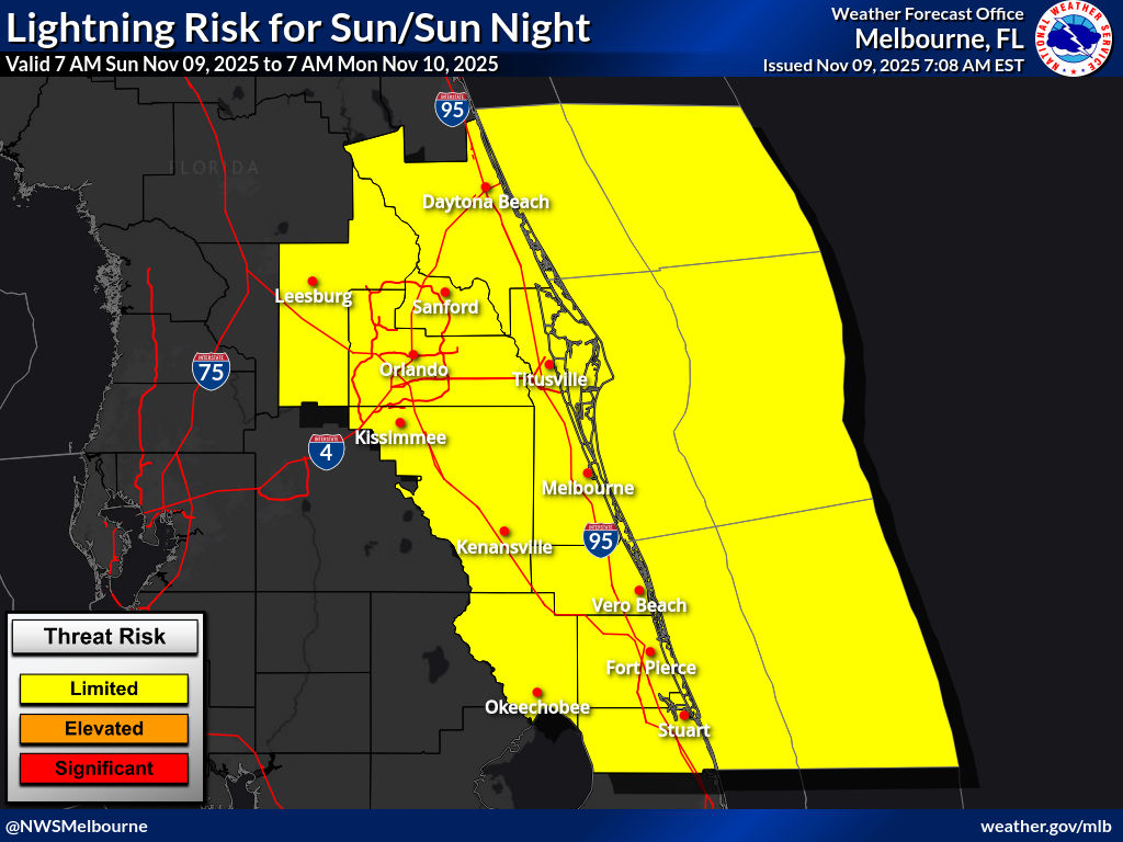
Saturday: Lightning Risk
1: 1
Isolated to low scattered thunderstorm coverage with dangerous cloud-to-ground lightning expected
Determining Risk
We base this risk on local weather office thunderstorm forecasts.
Risk Map
Risk Levels
| risk level name | risk level description |
|---|---|
|
1:1
|
Isolated to low scattered thunderstorm coverage with dangerous cloud-to-ground lightning expected |
|
2:2
|
Scattered thunderstorms with dangerous cloud-to-ground lightning expected. |
|
3:3
|
Numerous to Widespread thunderstorms with dangerous cloud-to-ground lightning expected. |


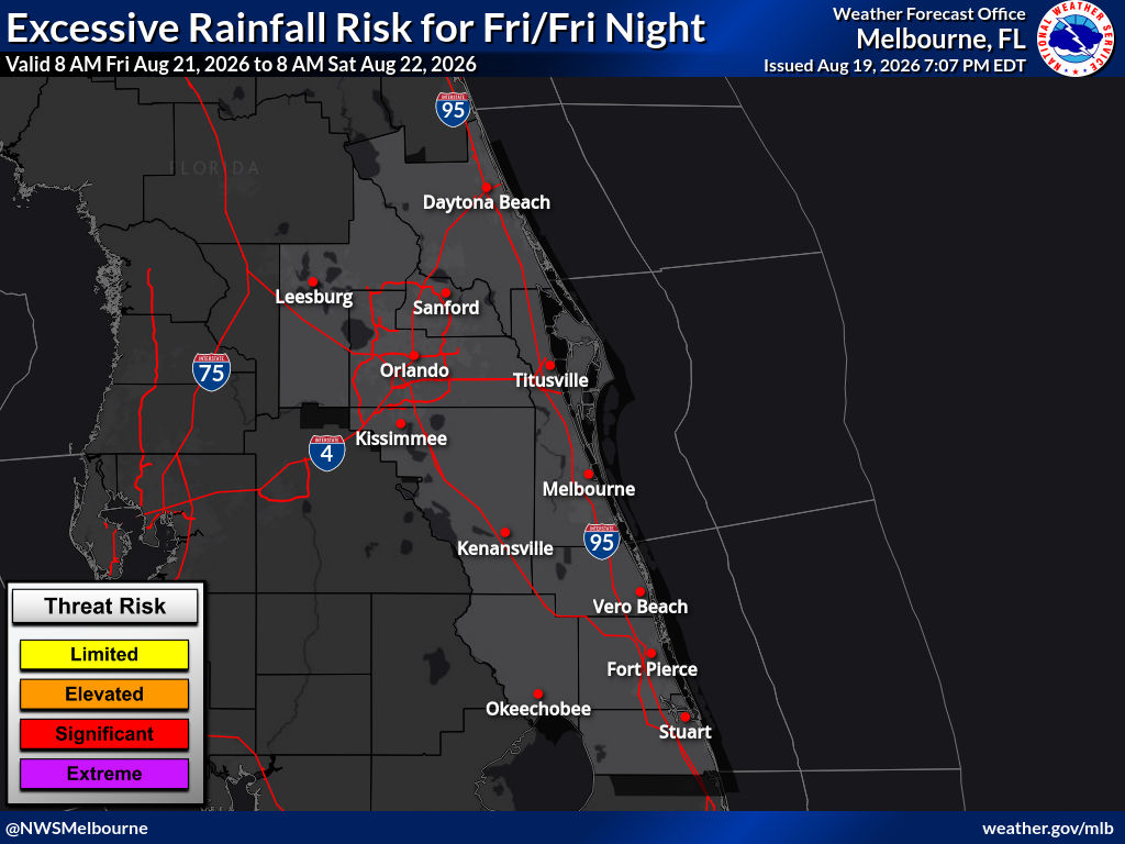
Saturday: Excessive Rainfall Risk
1: 1
Isolated flash floods possible. Most flooding will be localized to areas that can experience rapid runoff with heavy rainfall.
Determining Risk
We base this risk on the excessive rainfall outlook from the Weather Prediction Center. You can learn more about excessive rainfall on their website.
Risk Map

Risk Levels
| risk level name | risk level description |
|---|---|
|
1:1
|
Isolated flash floods possible. Most flooding will be localized to areas that can experience rapid runoff with heavy rainfall. |
|
2:2
|
Scattered flash floods possible, some potentially significant. Most vulnerable are urban areas, roads, small streams, and washes. |
|
3:3
|
Numerous flash floods including some significant events likely. Many streams may flood, affecting nearby residential and urban areas. |
|
4:4
|
Widespread, severe flash floods expected. Events could occur in areas that don't normally flood. Lives and property in greater danger. |

Saturday: High Surf Risk
1: 1
Large breaking waves will be hazardous to anyone who enters the surf.
Determining Risk
We base this risk on local weather office surf height forecasts.
Risk Map

Risk Levels
| risk level name | risk level description |
|---|---|
|
1:1
|
Large breaking waves will be hazardous to anyone who enters the surf. |
|
2:2
|
Large breaking waves will produce dangerous swimming and surfing conditions and localized beach erosion. |
|
3:3
|
Life-threatening swimming conditions and significant beach erosion can be expected. |
|
4:4
|
Life-threatening swimming conditions and major beach erosion can be expected. |


Saturday: Coastal Flood Risk
1: 1
Minor and/or isolated coastal inundation possible, mainly near times of high tide. Minor inundation of most vulnerable locations.
Determining Risk
We base this risk on local weather office water level forecasts.
Risk Map

Risk Levels
| risk level name | risk level description |
|---|---|
|
1:1
|
Minor and/or isolated coastal inundation possible, mainly near times of high tide. Minor inundation of most vulnerable locations. |
|
2:2
|
Considerable coastal inundation possible, affecting some streets and neighborhoods. |
|
3:3
|
Significant to major coastal inundation possible, leading to street closures and flooding of entire neighborhoods. |

Saved locations
Loading the risk data......